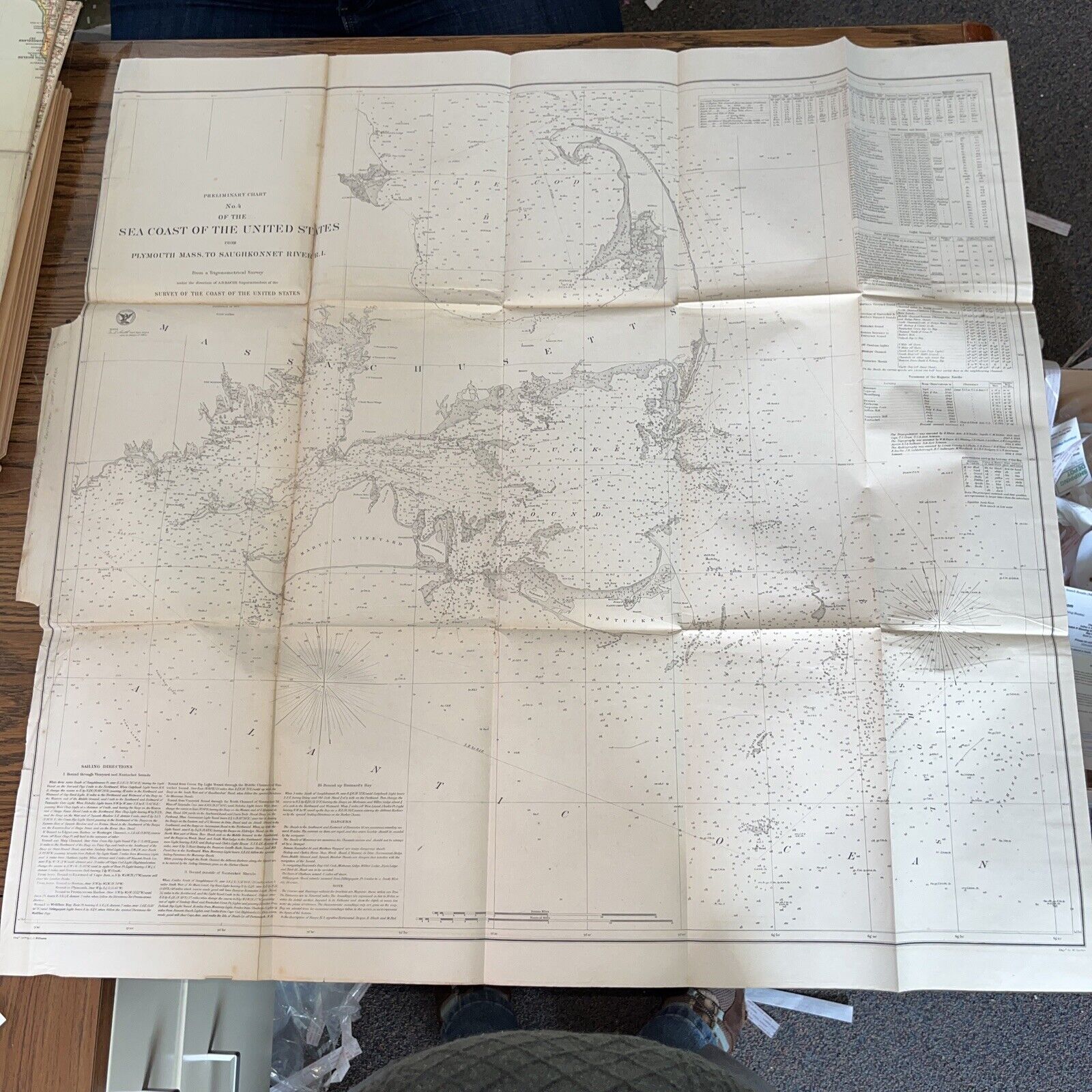
Massachusetts Sea Coast Nantucket Sound Plymouth 1857 Coastal Survey Chart Map For Sale

When you click on links to various merchants on this site and make a purchase, this can result in this site earning a commission. Affiliate programs and affiliations include, but are not limited to, the eBay Partner Network.
Massachusetts Sea Coast Nantucket Sound Plymouth 1857 Coastal Survey Chart Map:
$79.00
This antique map depicts the US Atlantic Coast Survey from Plymouth to the Saughknonnet River in RI. A true collector's item for those interested in the history of cartography, this map is a unique piece of ephemera that captures a moment in time. Its intricate details and beautiful design make it a stunning addition to any collection. Don't miss your chance to own a piece of history!
All ephemera has wear commensurate to age, including, potentially: nicks, folds, smudges, rips at edges, stains, old smells, minor rips at folds , small holes, and other imperfections. Our research notes indicate our best efforts but are not guaranteed to be 100% accurate. You get what you see :)
Some rips at folds, as pictured

Related Items:
Massachusetts Sea Coast Nantucket Sound Plymouth 1857 Coastal Survey Chart Map
$79.00
Cape Cod, MA-Massachusetts, Sea 'N Sand Resort Motel, Vintage Postcard
$7.99
Cape Cod MA- Massachusetts, Sea Street Town Beach, Vintage c1984 Postcard
$7.99


