
March 1940 WEST VIRGINIA Official State Road Map Charleston Wheeling Morgantown For Sale

When you click on links to various merchants on this site and make a purchase, this can result in this site earning a commission. Affiliate programs and affiliations include, but are not limited to, the eBay Partner Network.

March 1940 WEST VIRGINIA Official State Road Map Charleston Wheeling Morgantown:
$24.99
Vintagefold-out March 1940 official highway map of West Virginia, printed morethan 82 years ago.
- It opens to a generous 26\" x29\" and has great detail on oldhighway alignments, route numbers, and road surfaces, as well as thestatusof construction projects, paving, grading, and closures.
- There\'s a detailed index to citiesand towns, a directory of road commission offices, and a mileage chart.
- There are inset plans showing routes through variouscities, includingParkersburg, Morgantown, Charleston, Huntington, Bluefield, Beckley,Weirton, Clarksburg,and Wheeling.
- On the reverse side of the map there are photographs of a handful offishing locationsin the state, along with regulations and license fees.
- Condition: This map is in very good, lightly usedcondition, with a few minor scuffs, tiny breaks on a couple of the foldcorners, and norips, tears,or writing. Please see the scans and feel freeto ask anyquestions.
- According to the Official Maps Master List at the website ofthe Road MapCollectors Association, West Virginia issued a dozen different officialstatehighway maps in 1940; a different one each month. This is the March 1940 issue.
- Buy with confidence! We are always happy to combineshipping on thepurchase of multiple items — just make sure to pay for everythingat one time, not by SixBit\'s eCommerce Solution
Related Items: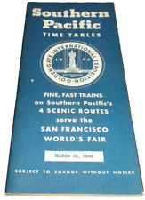
MARCH 1940 SOUTHERN PACIFIC FOUR SCENIC ROUTES PUBLIC TIMETABLE
$40.00
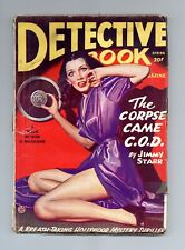
Detective Book Magazine Pulp Mar 1945 Vol. 4 #9 GD/VG 3.0
$130.00

AMAZING Stories March 1940 pulp magazine AR Steber Paul Revere AW Bernal
$24.95