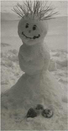
Ice cover on many small- and intermediate-sized lakes in the U.S. Northeast and parts of the Midwest will come later than usual this year, a reflection of continuing global warming and a stronger-than-expected El Nino phenomenon, says a University at Buffalo (UB) researcher.
Kenton Stewart, a UB professor emeritus of biological sciences, gathers freeze-thaw dates from contacting hundreds of lakeside observers that form an ad hoc network. He compares the dates with what he knows about the depth and surface area of a lake, data from other observers in the area and the extent of detail provided by the observer.
“The initial predictions for this fall and early winter were for a relatively mild El Nino,” says Stewart, “but it’s looking like a very strong El Nino year, similar to the winter of 1997-98.” The El Nino phenomenon is unusual warming in the equatorial waters of the Pacific Ocean, occurring roughly every three to seven years. Some of that extra heat in the ocean waters may get transferred through the atmosphere to regions in the U.S.
Stewart said data so far indicated that hundreds of Midwestern and Northeastern lakes have yet to develop full ice covers. “Overall, temperatures are rising and so there may come a time when these little lakes do not freeze at all,” he said. As for whether Lake Erie will freeze this year, the jury is still out. “The chances for Lake Erie freezing this winter are ‘iiffy’ at this stage,” he mused.










Comments are closed.