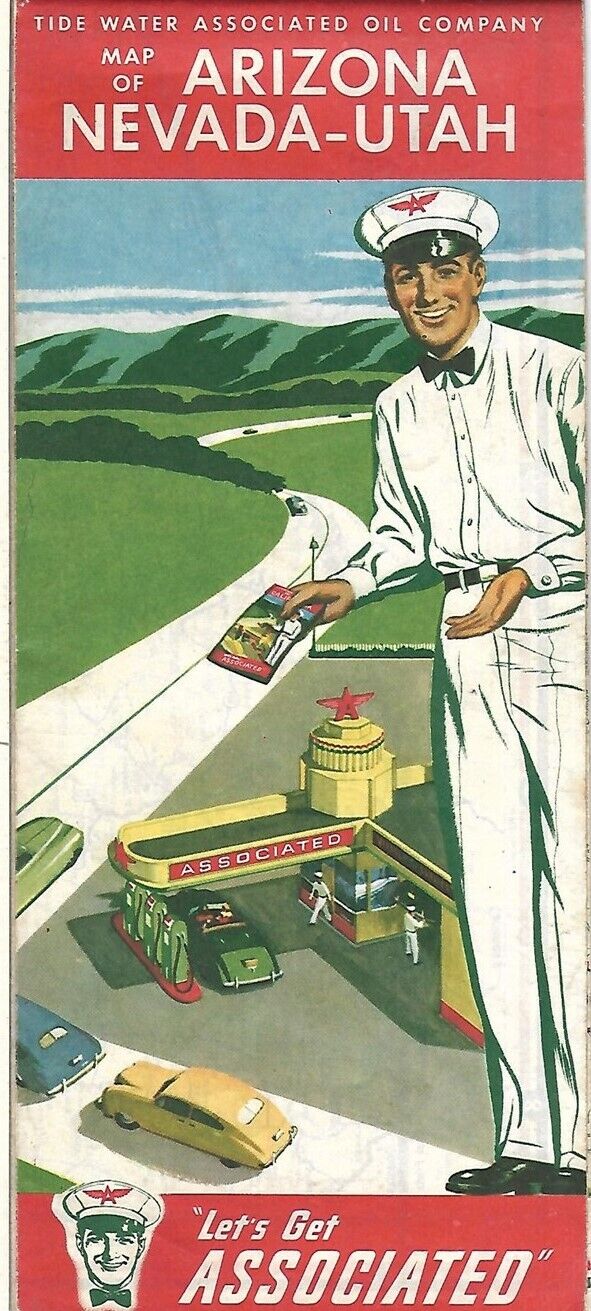
1951 FLYING A Tide Water Associated Road Map ARIZONA NEVADA UTAH Route 66 Tucson For Sale

When you click on links to various merchants on this site and make a purchase, this can result in this site earning a commission. Affiliate programs and affiliations include, but are not limited to, the eBay Partner Network.
1951 FLYING A Tide Water Associated Road Map ARIZONA NEVADA UTAH Route 66 Tucson:
$14.99
Handsomefold-out 1951 Associated road map of Arizona, Nevada, and Utah, printedmore than 68 years ago.
- This map opens to 18\" x 27\" and has great detail on old highwayalignments, including U.S. Route 66, with cartography by H.M. Gousha.
- On the reverse side there are inset plans of Reno, Phoenix, Tucson,Ogden, Salt Lake City, Lake Tahoe, and Zion, Bryce, and Grand Canyon NationalParks.
- This map was published in 1951 by the Tide Water Associated Oil Companyto promoteits Flying A brand. It is dated by the code numberin the lower margin: 10-Y. Population data is from the 1940 census.
- Condition:This map is in very good, lightly usedcondition, with a couple of faint spots and no rips, tears, or writing. Pleasesee the scans and feel free to ask any questions.
- Buy with confidence! We are always happy to combineshipping onthe purchase of multiple items — just make sure to pay for everythingat one time, not by SixBit\'s eCommerce Solution

Related Items:September 1951 Flying Magazine
$11.26
NEW OLD STOCK KOREAN WAR M-1951 WOOL OD FIELD TROUSERS LARGE LONG ZIPPER FLY
$49.99
$11.26


