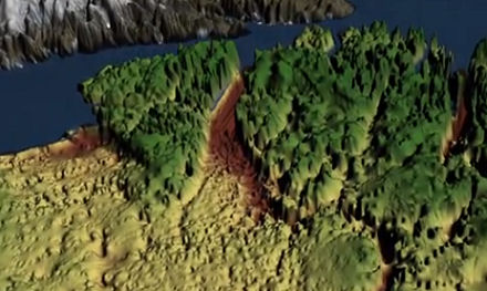
“One might assume that the landscape of the Earth has been fully explored and mapped,” said Jonathan Bamber, lead author of a study detailing the discovery in the journalScience. “Our research shows there’s still a lot left to discover.”
To piece together the landscape lying beneath the Greenland ice sheet, the scientists used thousands of miles of airborne radar data, collected by NASA and researchers from the United Kingdom and Germany over several decades.
A large portion of this data was collected by NASA’s Operation IceBridge, an airborne science campaign that studies polar ice. One of IceBridge’s scientific instruments, the Multichannel Coherent Radar Depth Sounder, can see through vast layers of ice to measure its thickness and the shape of bedrock below.
Analyzing the radar data, the team discovered a continuous bedrock canyon that extends from almost the center of the island and ends beneath the Petermann Glacier fjord in northern Greenland.
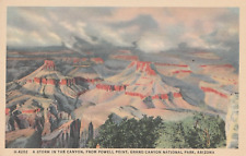
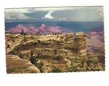
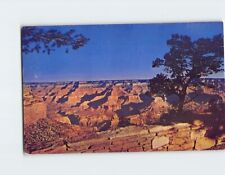
“It is quite remarkable that a channel the size of the Grand Canyon is discovered in the 21st century below the Greenland ice sheet,” said Michael Studinger, an IceBridge project scientist. “It shows how little we still know about the bedrock below large continental ice sheets.”
Related:
Discuss this article in our forum
Glacial Acceleration Linked To “Plumbing” Issues
Ancient microbes found beneath ice of Antarctic lake
Sea-level rise predictions may be missing critical factors
Greening of Arctic will be dramatic, say scientists







Comments are closed.